
Drone Nomad’s Journey: A Range Test Adventure at Mount Agamenticus
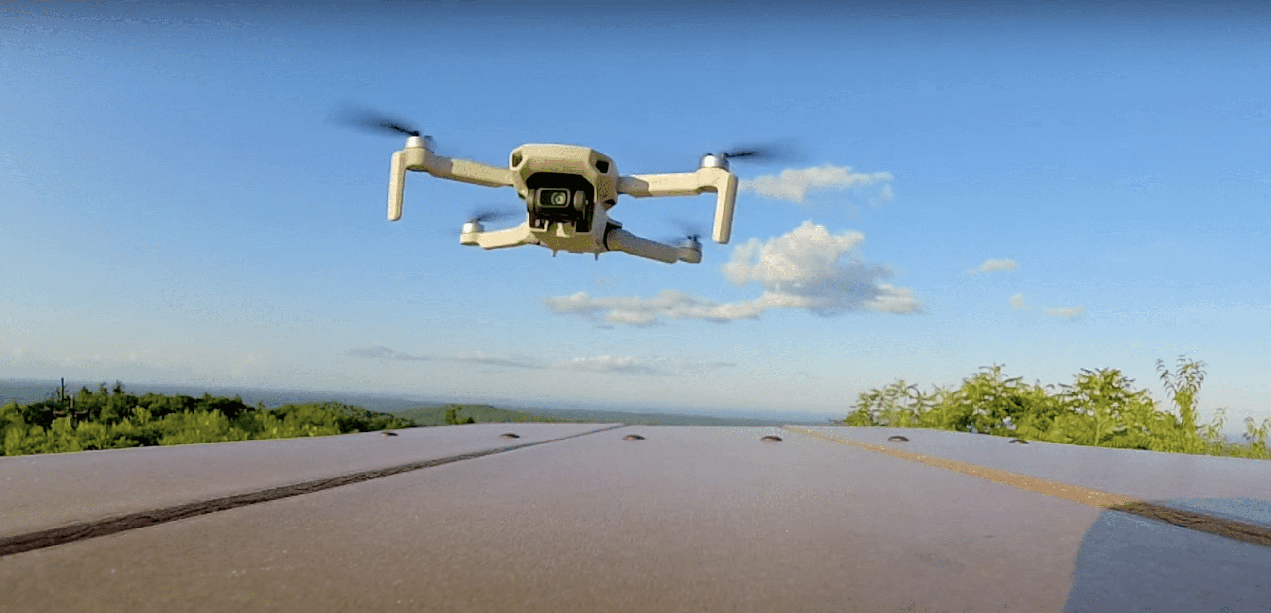
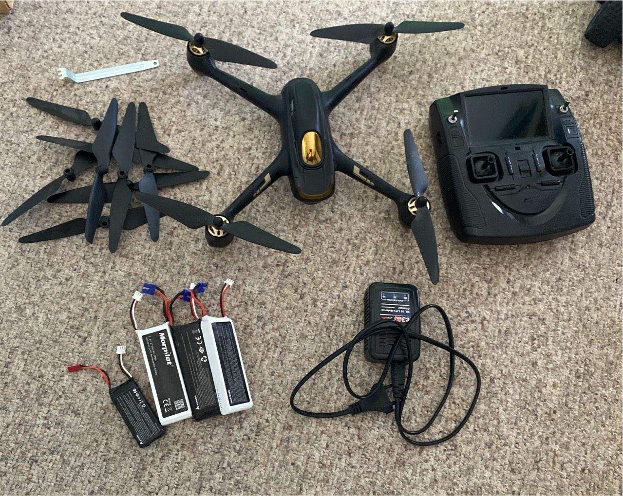
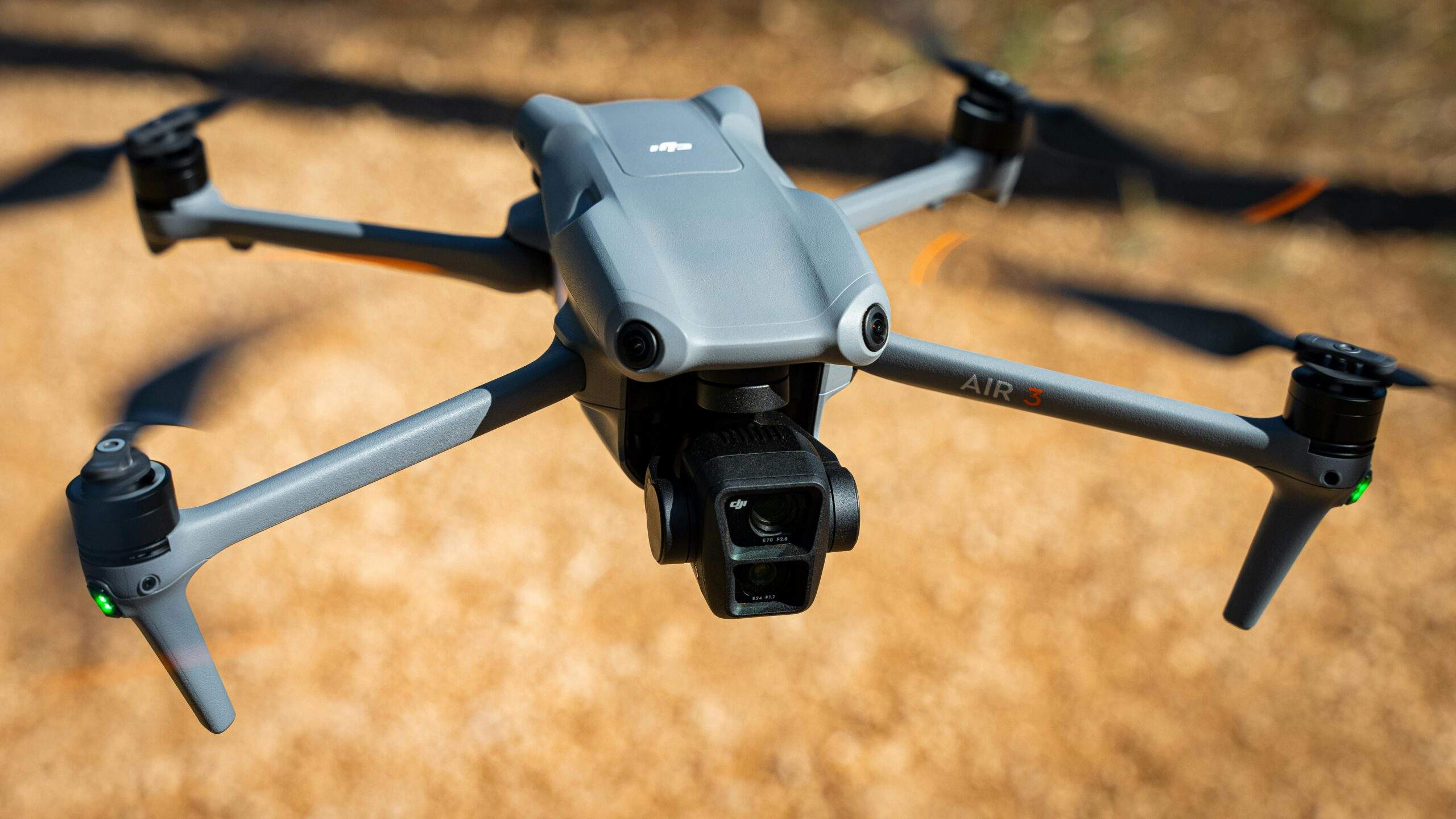
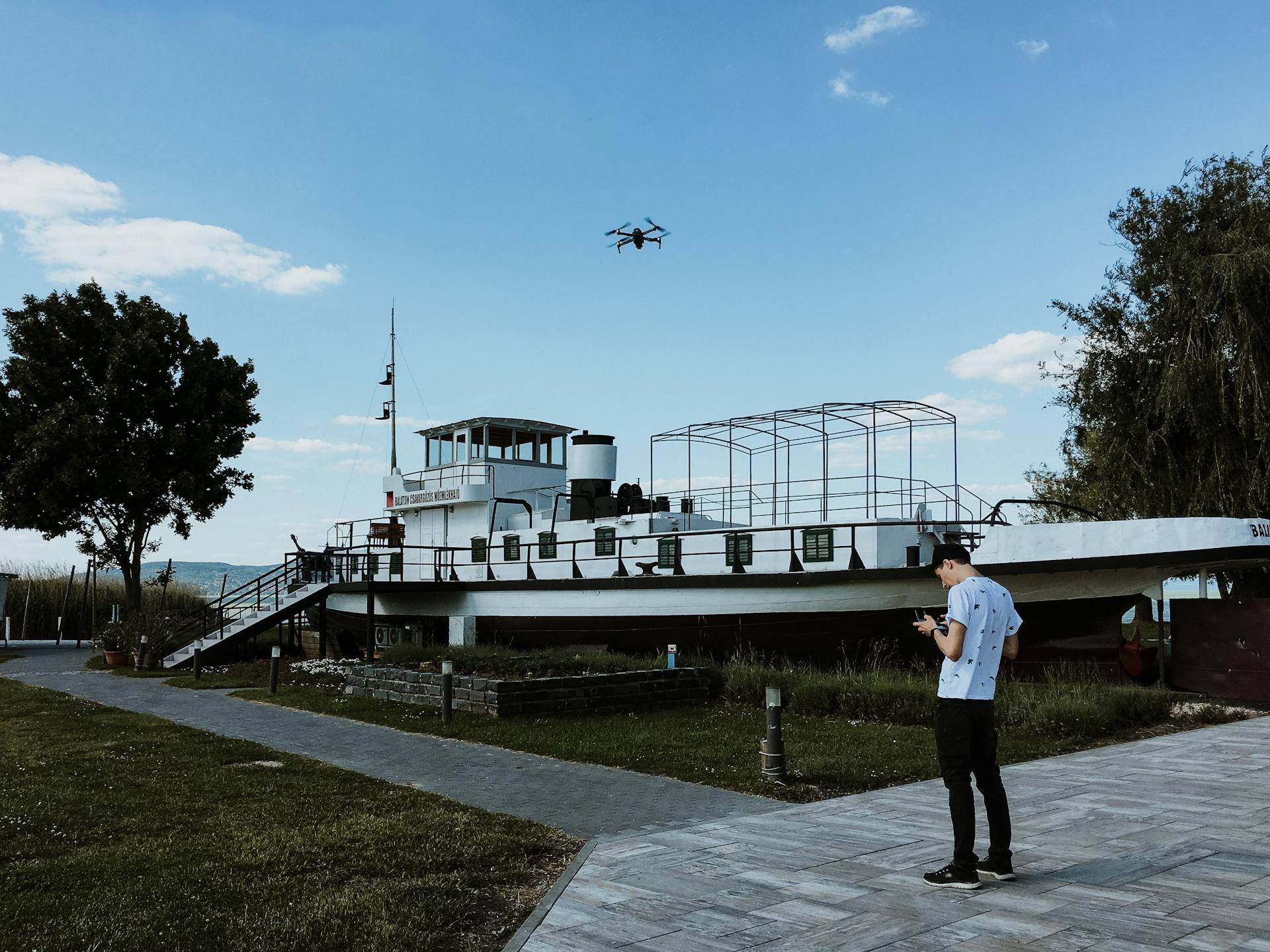
Greetings to the fellow drone enthusiasts out there! This is Drone Nomad, and I recently did an exciting range test with my Mini 2SE.
The conditions were nearly perfect. Though the winds were slightly brisker than anticipated, the sun shone brightly, creating an ideal setting for the test. Before setting out, I consulted my trusty weather app and the local live radar for manned aircraft. Bird-watchers take note: Mount Agamenticus is a hotspot during migration season, making it imperative to keep an eye on our feathered friends.
With a clear path charted, I directed my drone towards the vast expanse of the ocean. While it seemed tantalizingly close, the reality is it’s around seven miles from our launch point. I wasn’t planning on crossing that distance, but I was determined to see just how far I could push the Mini 2SE.

The selection of Mount Agamenticus as the location for this test wasn’t arbitrary. Its elevation and unobstructed vistas make it ideal for such an experiment. After all, it’s the highest geographical summit in the vicinity. Flying 22 meters above my launch site, I ensured that my drone would remain unhindered in any direction.
A word to the wise: if you ever plan on pushing the limits of your drone's range, always double-check your 'return home' settings. I ensured mine were just right so the drone wouldn't ascend too high if it lost connection.
Despite the favorable conditions, the initial phase of my flight wasn’t without hitches. My drone drifted off course briefly but was quickly set right. However, my fifth flight with the Mini 2SE revealed a recurring gimbal issue. During certain maneuvers and captures, the gimbal would tilt, though it would self-level when stationary. It’s a minor hiccup but something drone photographers might want to be aware of.
Range Test Revelations with Drone Nomad: Insights from the Mini 2SE Expedition

As the flight progressed, I noticed that the gimbal, despite its occasional tilt, did stabilize whenever the drone was stationary. Although this quirk didn’t result in the loss of any shots, as a photographer, it’s always a pleasure to capture imagery without such limitations. Within moments, I had covered the first thousand meters. A glance at the monitor revealed more than 90% battery life remaining. Everything appeared to be on track, with a strong RC connection and a consistent link to 25 satellites.
However, drone enthusiasts, a slight oversight caught me by surprise: I was so engrossed in ensuring the correct ‘return home’ altitude that I unintentionally set a limit on the maximum flight distance. It’s a quick fix in the settings of the Mini 2SE and, indeed, all other DJI drones.
On a related note, I recently conducted a ‘return home’ competition between the Mini 2SE and the Mavic 3. Curious about which drone proves to be more accurate when returning autonomously? Keep an eye out for my upcoming video!
Back to the range test: responding to popular demand, I prioritized this video, and I truly hope it provides valuable insights into the range and battery capabilities of the Mini 2SE. Still hovering at approximately 90% battery, I was already approaching the 2000-meter mark.
While there were occasional signal lapses, my setup was quite standard: an iPhone paired with a conventional controller. My goal wasn’t to achieve an extreme range under specialized conditions. Instead, I wanted to replicate the experience of an everyday user. So, rather than seeking an elevated vantage point, I comfortably positioned myself at the summit’s edge.
This entire exercise reinforced a golden rule for me: choosing the right location, weather conditions, and preparation significantly elevates the drone-flying experience. Always prioritize safety and optimal captures over sheer range. And for those eager to know, I’ve listed the weather and live flight radar apps I frequently consult in the video description.
Throughout the flight, the Mini 2SE maintained a consistent speed of around 10 meters per second. With zero lag or interruption, it’s evident why live screen recording is so crucial to me. Flying in a straight line is essential during range tests, as unnecessary detours can skew results regarding battery and distance capabilities. With steady hands and focused attention, I endeavored to make the most of this flight.
Unraveling the Heights with Drone Nomad: My Mini 2SE’s Memorable Flight

Throughout the entirety of this flight, my throttle has been unwavering. With each second, I pushed the Mini 2SE forward at a consistent pace of 10 meters per second. Soon enough, the 3,000-meter mark was behind us. Another pivotal reason for selecting Mount Agamenticus as the flight’s origin lies in its significance as an aviation beacon. From a bird’s-eye view, the track seemed to almost trace the transmission towers punctuating the hills – indicators for manned aircraft to maintain altitude.
My initiation into the world of drones seven years ago was riddled with concerns. Every time an aircraft flew by, I would get jittery, suspecting it was way too low. However, as I became more attuned to the live radar apps and gained a deeper understanding of their actual altitudes, my confidence soared. Newbies, here’s a tip: Spend some quiet moments observing your surroundings and the flight patterns of other aircraft before launching your drone. It’s bound to provide a clearer picture of the aerial activity and lend you peace of mind.
Surprisingly, here I was, at 3,500 meters, with three-quarters of the drone’s battery life still intact. The idea of a mere 249-gram drone traveling about 3.1 miles in under 10 minutes would have been inconceivable in the past. But witnessing this technological marvel in action was genuinely thrilling. Admittedly, this wasn’t my first rodeo at Mount Agamenticus, but the previous one wasn’t as fruitful. Plus, I had forgotten to record my screen!

Reaching nearly 4,500 meters, my controller started to exhibit signs of a weak connection. Despite the fluctuating signals, the choice of the mountain ensured no actual interruptions. I still remember my first range test (not at this mountain) where the trees began to obstruct the signal as I ventured further.
Always ensure you’re acquainted with your drone’s settings. Being aware of the battery percentage thresholds before particular automated functions activate can prevent unexpected disruptions. During this flight, the drone covered an impressive 5,000 meters. Glancing at the map, I noticed the drone had crossed Interstate 95 and was nearing the ocean. It’s fascinating to think of the endless possibilities if the battery constraints weren’t an issue. This performance aligns perfectly with DJI’s specifications, making the flight a resounding success.
For my audience’s convenience, I accelerated the drone’s return journey, ensuring to actively monitor the airspace for any other aircraft. Eventually, the drone safely touched down at the summit. I then swiftly packed up, relocating to enjoy a sublime sunset. Reflecting on the day’s adventure, the drone had defied my previous records, effortlessly hitting the 5,000-meter or five kilometers mark.

It would be cool to be able to play lasertag with it (like the Propel Starwars drones).
mmm whats the price tag on this one? probley b cheaper to strap my mobile to a RC Plane.
Same here. I always use the 128 memory sd
I agree on your comments apart from internal storage. I never use it (Micro SD) and don’t know anyone who…
Why would it need more internal storage? Does anyone actually use internal storage? I don’t.


Leave a Reply