Key Takeaways
- Architecture Difference: Litchi prioritizes smooth, flowing cinematic paths, while Dronelink uses a component-based "flight plan" structure ideal for complex mapping and repeatability.
- Virtual Stick Control: Both apps now rely heavily on Virtual Stick commands for modern DJI drones (Mini 3/4, Air 3, Mavic 3), requiring a constant connection between the remote and the drone.
- Mapping Capability: Dronelink is the superior choice for photogrammetry, offering native terrain following and complex grid patterns that Litchi lacks.
- Learning Curve: Litchi offers a "pick up and fly" experience; Dronelink requires a steeper learning curve but delivers significantly greater programmable power.
For years, the debate over the best DJI waypoint app has been a binary choice: Litchi for its silky-smooth cinematic curves, or Dronelink for its programmatic precision. In 2026, however, the landscape of autonomous drone flight has shifted considerably. With DJI's Mobile SDK updates and the hardware architecture of the Mavic 3 and Mini 4 series, the gap between these two software giants has evolved from a matter of preference to one of fundamental workflow.
As a drone journalist and technical analyst, I've spent hundreds of hours pushing flight planning software to its breaking point. Whether you're conducting a high-precision photogrammetry audit or attempting to capture a complex cinematic establishing shot, the software you choose dictates your success.
This Dronelink vs Litchi analysis dissects the code behind the flight path to determine which app deserves a spot on your tablet this year.
The Core Difference: Path vs. Program
To understand the Litchi review 2026 landscape, you must first grasp how these apps communicate with your drone. In the era of the Phantom 4, waypoints were uploaded to the drone's internal memory. You could turn off your controller, and the drone would complete the mission autonomously. Those days are largely gone for consumer hardware.
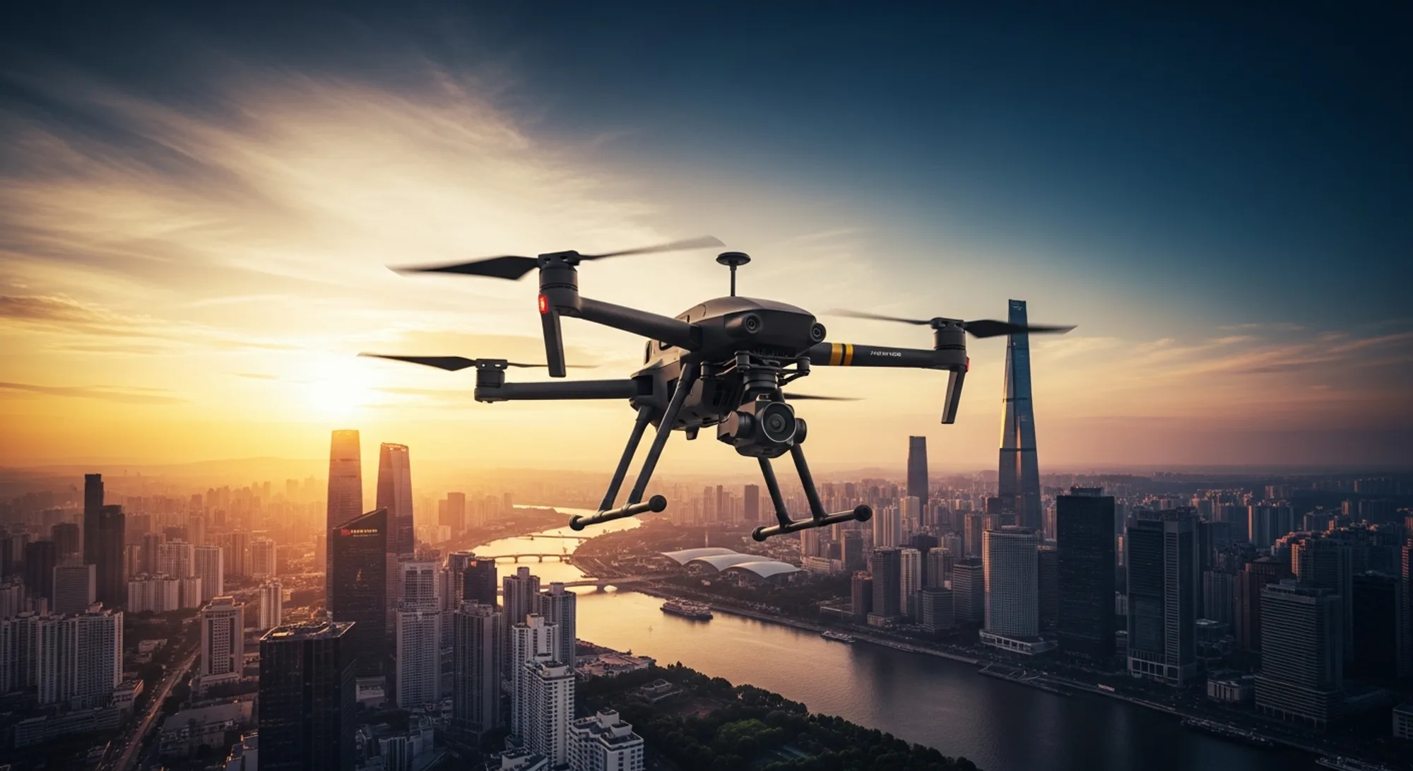
Modern DJI drones (Mini, Air, and non-Enterprise Mavic series) rely on Virtual Stick commands. The app runs on your tablet or phone and sends control inputs to the drone roughly 5 to 10 times per second. If the signal cuts, the mission stops.
Signal Criticality Warning
Because both Litchi and Dronelink rely on Virtual Stick commands for modern DJI airframes (Mini 3/4, Air 3, Mavic 3), you must maintain a strong RC signal throughout the flight. If the connection is lost, the drone will trigger its native RTH (Return to Home) failsafe immediately.
Litchi: The Cinematic Flow
Litchi treats a mission as a series of physical points in space connected by curves. Its Mission Hub is a web-based planner that excels at visualizing 3D space. When you plan a flight in Litchi, you're essentially drawing a line in the sky and telling the drone, "follow this line while looking at that Point of Interest."
The approach is intuitive, visual, and specifically designed for videographers who need smooth yaw rotation and gimbal pitch interpolation. If you're trying to mimic FPV dives or complex tracking shots without flying manually, Litchi remains the gold standard for fluidity.
Dronelink: The Component Logic
Dronelink takes a fundamentally different approach. It doesn't just see a path; it sees a "plan." A Dronelink mission is built from components: lists, grids, orbits, and maps. Crucially, Dronelink allows for conditional logic.
For example, you can program a command: "Fly to Waypoint A. If battery is above 50%, execute Orbit B. If below 50%, return home." This programmatic approach makes it the best DJI waypoint app for commercial pilots who need repeatability over cinematic flair.
Feature Comparison: The 2026 Breakdown
When weighing Dronelink vs Litchi, the decision often comes down to specific feature sets required for your niche.
| Feature | Litchi | Dronelink |
|---|---|---|
| Pricing Model | One-time purchase (~$25) | Tiered Subscription (Hobbyist to Enterprise) |
| Flight Logic | Waypoint & Curve based | Component & Code based |
| Mapping/Grid | Basic functionality | Advanced (Terrain follow, Multi-pass) |
| Panorama | Native & Customizable | Highly Programmable |
| Interface | Simplified, Pilot-centric | Complex, Engineer-centric |
| Terrain Follow | Requires external data import | Native integration (Esri/Google data) |
Litchi Review 2026: The Pilot's Choice
Litchi remains the champion of usability. The 2026 updates have focused heavily on integrating with newer DJI SDKs to reduce the "micro-jitters" often associated with Virtual Stick commands. For real estate photographers and hobbyists, Litchi's Magic Leash feature is unparalleled—it allows the drone to follow a subject carrying a smartphone without relying on visual recognition, which proves vital when the subject is obscured by trees or moving erratically.
Furthermore, Litchi's FPV mode supports a wide range of VR goggles, enabling an immersive experience that the native DJI Fly app simply doesn't offer. If your goal is to create beautiful video with minimal setup time, Litchi wins.
"Litchi is the tool you use when you want to direct a shot. Dronelink is the tool you use when you want to program a robot."
Dronelink Review: The Engineer's Choice
Dronelink is less of an app and more of a flight operating system. Its web planner is intimidating at first glance, resembling video editing software's timeline rather than a map. However, this complexity unlocks capabilities that Litchi cannot touch.
For Litchi vs Dronelink mapping scenarios, Dronelink is the clear victor. It supports:
- Terrain Following: Uses global elevation data to keep the drone at a constant altitude AGL (Above Ground Level) without manual calculation.
- Facade Scanning: Vertical grid patterns for inspecting buildings, crucial for structural engineering audits.
- Map Alignment: The ability to drag-and-drop an entire mission plan to a new location in the field while retaining the relative geometry of the flight.
Dronelink is also platform-agnostic. You can plan a mission once and fly it with a DJI Mini 3, then execute the exact same mission with an Autel Evo II (hardware permitting). The app handles drone-specific parameters in the background.
Pro Tip: The "On-the-Fly" Function
Dronelink's "On-the-Fly" generation allows you to create complex orbits and mapping grids in the field without internet access. The app utilizes your mobile device's processor to build the flight path instantly—a game-changer for pilots working in remote locations.
Mapping and Photogrammetry
If your primary income stream involves DJI flight planning software for surveying, the choice is made for you. While Litchi can technically fly a grid, it lacks the overlap assurance and camera triggering logic required for professional orthomosaics.
Dronelink allows you to set specific front and side overlaps (e.g., 75%/70%), and the software automatically calculates speed and shutter intervals based on your drone's camera sensor and altitude. This ensures that when you process your data, you won't end up with holes in your point cloud.
For pilots dealing with regulatory hurdles—such as complex firmware restrictions or specific geofencing zones—Dronelink's granular control over maximum altitudes and approach speeds provides a safety layer that's difficult to achieve with manual flight or simpler apps.
The Verdict: Which Should You Install?
In 2026, the "best" app depends entirely on your output requirements.
Choose Litchi if: You're a videographer, real estate photographer, or hobbyist who needs smooth, sweeping cinematic shots, object tracking, or a simple way to pre-plan a flight path for a sunset video. You value an intuitive interface over granular technical control.
Choose Dronelink if: You're a mapper, surveyor, or industrial inspector who needs to fly the exact same path every week to monitor construction progress. You require terrain following to ensure consistent GSD (Ground Sampling Distance) on uneven ground. You treat your drone as a data collection tool rather than a flying camera.
Ultimately, many professional pilots keep both installed. Litchi handles the art; Dronelink handles the science.
Sources & Further Reading
- FAA Recreational Flyers & Modeler Community-Based Organizations - Official safety guidelines for automated flight.
- Pilot Institute - Comprehensive training on using automated flight software for commercial applications.
- AUVSI - Association for Uncrewed Vehicle Systems International resources on autonomy levels.
