Key Takeaways
- Cost Disparity: AI-driven photogrammetry setups now cost approximately 70% less than entry-level LiDAR rigs while delivering comparable results for hard surfaces.
- Speed Factor: New videogrammetry engines like SkyeBrowse are reducing processing times from hours to minutes, fundamentally changing commercial drone ROI.
- The LiDAR Moat: Despite AI advances, active laser scanning remains the only viable option for penetrating dense vegetation in 2026.
For the past five years, the hierarchy of drone mapping was rigid: if you wanted speed and absolute precision, you paid a premium for LiDAR (Light Detection and Ranging). If you were budget-conscious, you settled for photogrammetry and accepted long processing times and potential stitching errors. In early 2026, that binary choice is dissolving.
Recent software advancements—specifically in SkyeBrowse AI mapping and neural rendering—are narrowing the performance gap between optical sensors and laser scanners. For enterprise pilots and surveyors, this represents a significant shift in drone mapping cost analysis, moving the conversation from "which sensor is better?" to "which workflow yields the highest margin?"
The Hardware Price Gap: A 2026 Snapshot
Understanding the ROI shift requires examining current drone survey equipment prices. While LiDAR sensors have become smaller and more affordable, they still command a significant premium over high-resolution optical cameras. The disparity becomes stark when analyzing a typical entry-level enterprise setup.
| Component | LiDAR Setup (Mid-Range) | AI Photogrammetry Setup |
|---|---|---|
| Drone Body | $8,500 (Matrice Class) | $3,200 (Mavic 3E Class) |
| Sensor/Payload | $6,500 (L2 or equivalent) | Included (Integrated 20MP/48MP) |
| Software License (Annual) | $1,200 | $2,000 (Premium AI Tier) |
| Total Investment | ~$16,200 | ~$5,200 |
The hardware math is undeniable: a pilot can field three photogrammetry units for the price of one LiDAR rig. However, hardware cost was never the main bottleneck for photogrammetry—data processing time was. This is where the 2026 software landscape has fundamentally changed the equation.
Pro Tip
When choosing optical hardware, sensor size matters more than pixel count for mapping. See our analysis on 48MP vs. 20MP sensors to understand why pixel pitch dictates your low-light mapping success.
Videogrammetry and the SkyeBrowse Effect
Traditional photogrammetry requires stopping the drone to capture hundreds of overlapping photos, which are then stitched together—a process that consumes significant battery and flight time. The LiDAR vs. photogrammetry 2026 debate now centers on a newer approach: videogrammetry.
According to recent reports from DroneDJ, platforms like SkyeBrowse have launched updated AI-powered modeling systems that utilize video data rather than static images. This allows pilots to fly missions in continuous motion, drastically reducing time on site.
The ability to generate a sub-centimeter accurate 3D model from a 90-second video flight is not just a technical novelty; it is an operational revolution for accident reconstruction and construction progress monitoring.
By utilizing proprietary "Hyper" technologies, these platforms can process data up to 50 times faster than traditional photogrammetry engines. For service providers, this dramatically improves commercial drone ROI by enabling more sites to be mapped in a single day—without the heavy post-processing bottleneck that previously required overnight rendering.
The Precision Reality Check
Is AI photogrammetry accurate enough to replace LiDAR? The answer depends entirely on the surface being mapped. For hardscapes—roads, buildings, stockpiles, and accident scenes—modern 3D modeling software trends show that AI reconstruction achieves density and accuracy comparable to mid-range LiDAR, provided adequate lighting conditions exist.
However, physics cannot be cheated by code. LiDAR maintains clear superiority in two specific areas:
- Canopy Penetration: AI cannot infer what the ground looks like beneath dense foliage. LiDAR pulses physically pass through gaps in leaves to map the terrain below.
- Low Light and Night Operations: Photogrammetry relies on ambient light, while LiDAR carries its own active light source.
Important
Do not attempt to use AI photogrammetry for topographical surveys in wooded areas. You will map the tree canopy, not the ground elevation. For these missions, RTK precision combined with LiDAR remains mandatory.
Regulatory and Enterprise Integration
The shift toward software-defined mapping also aligns with the evolving regulatory landscape. As reported by sUAS News, the push for Blue UAS (NDAA-compliant drones) continues to shape procurement for first responders and government contractors.
High-end LiDAR hardware is often proprietary and tied to specific airframes. In contrast, AI mapping software is largely hardware-agnostic. This flexibility allows agencies to deploy compliant, lower-cost airframes while relying on US-hosted software stacks to process data—navigating security requirements more easily than sourcing compliant LiDAR payloads.
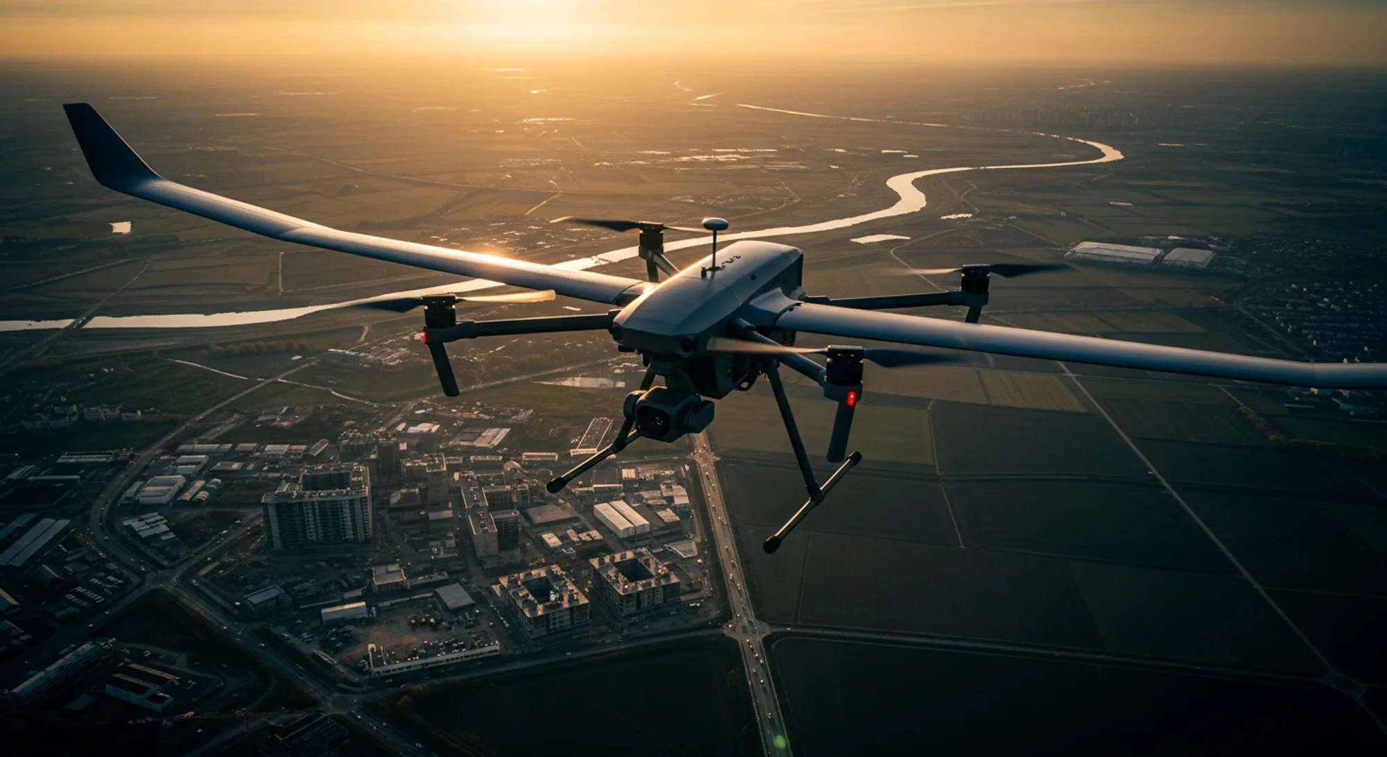
Furthermore, as airspace grows more complex with the implementation of U-space corridors—detailed in the U-space Implementation Handbook—acquisition speed becomes a safety factor. Spending 10 minutes loitering for a photogrammetry grid carries more risk than a 2-minute videogrammetry sweep, especially in urban environments like those seen in Wing's recent Houston expansion.
Conclusion
In 2026, the question is no longer whether photogrammetry can compete with LiDAR—it's whether your specific application requires the unique capabilities LiDAR offers. For general construction monitoring, roof inspections, and accident reconstruction, AI-driven videogrammetry delivers superior ROI. For forestry management and complex topographical surveying, however, the laser still reigns supreme.
