Key Takeaways
- Understand the core navigation systems used in drones: GPS, Inertial Navigation Systems (INS), and Visual Positioning Systems (VPS).
- Learn how these systems work together to provide accurate and reliable drone positioning.
- Grasp the impact of FAA regulations on drone navigation and flight planning in the US.
- Discover tips for optimizing your drone's navigation performance and ensuring safe flights.
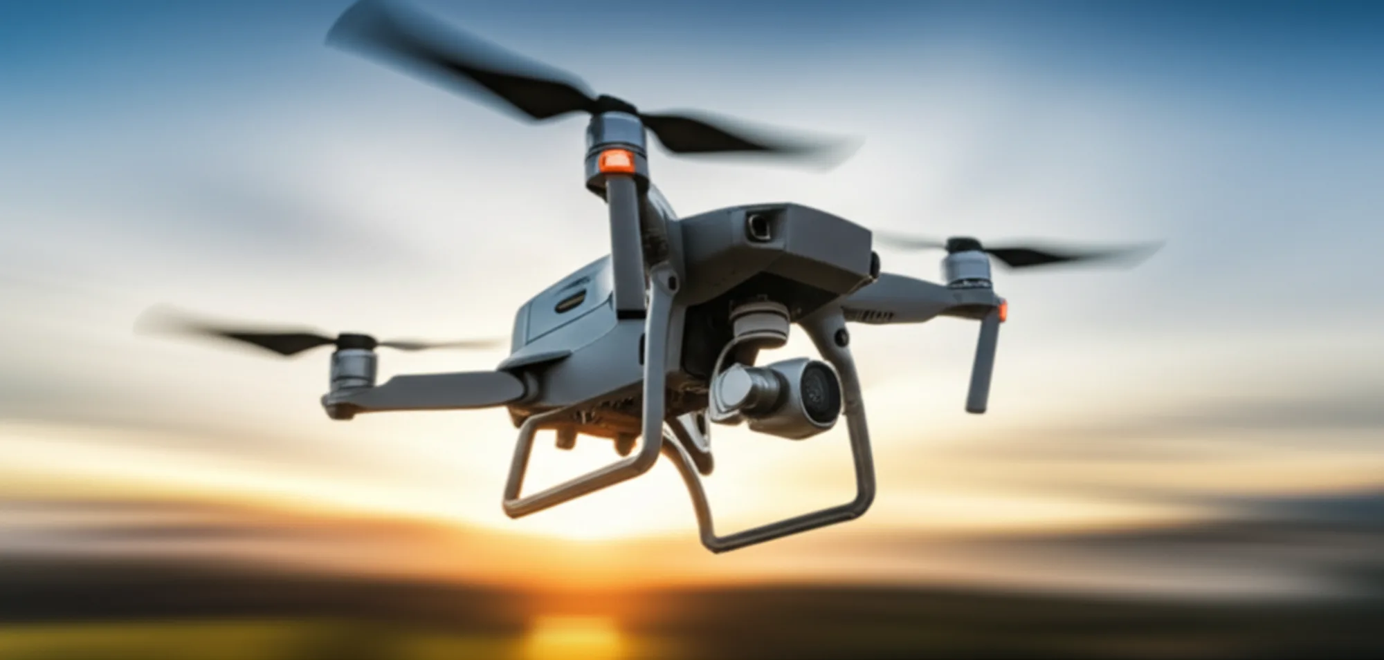
Have you ever wondered how your drone knows exactly where it is in the sky? Or perhaps you’ve experienced the frustration of a shaky hover or inaccurate return-to-home? The secret lies in understanding drone navigation systems. Let's dive in!
The Three Pillars of Drone Navigation
Imagine you're driving across the country. You need a map (GPS), a sense of direction (INS), and your eyes (VPS) to stay on course. Drone navigation works similarly, relying on a combination of technologies to achieve precise and reliable positioning.
GPS (Global Positioning System) is the most familiar. It uses signals from satellites to determine the drone's latitude, longitude, and altitude. Think of it as your drone's global address.
Inertial Navigation Systems (INS) act as your drone's inner compass. They use accelerometers and gyroscopes to track the drone's movement and orientation. INS is crucial when GPS signals are weak or unavailable, such as indoors or in urban canyons.
Visual Positioning Systems (VPS) employ cameras and sensors to analyze the ground below, creating a visual map that helps the drone maintain its position and avoid obstacles. This is like your drone "seeing" where it is.
These three systems work in harmony. GPS provides the broad location, INS fills in the gaps when GPS is unavailable, and VPS offers precise positioning at low altitudes. Understanding how they interact is key to safe and accurate drone operation.
How Drone Navigation Systems Work Together
Pilot Mike from Austin discovered this the hard way. He was flying near a building when his GPS signal weakened. The drone, relying solely on GPS, started to drift. Luckily, the VPS kicked in, preventing a collision. The result? A near miss, but a valuable lesson learned.
The interplay between these systems is complex, but here’s a simplified view:
- GPS Lock: The drone initially acquires a GPS lock, providing a general location.
- INS Initialization: The INS initializes based on the GPS data, establishing a baseline for measuring movement.
- VPS Activation: At lower altitudes, the VPS activates, using visual data to refine the drone's position.
- Sensor Fusion: The drone's flight controller constantly fuses data from all three systems, creating a comprehensive and accurate understanding of its location and orientation.
If one system fails, the others can compensate, but with reduced accuracy. That's why it's crucial to monitor the performance of all navigation systems during flight.
FAA Regulations and Drone Navigation
The FAA plays a critical role in regulating drone navigation, primarily through rules related to airspace, remote identification, and operational limitations. These regulations directly impact how and where you can fly.
One key area is Remote ID. The FAA requires most drones operating in US airspace to broadcast identification and location information. This allows authorities to track drones and ensure compliance with regulations. You can read more about this in our Remote ID Compliance: 2026 FAA Guide for US Drone Pilots.
Another area is airspace restrictions. The FAA designates certain areas as no-fly zones, such as near airports or critical infrastructure. Drone pilots must be aware of these restrictions and avoid flying in prohibited areas. Flying in restricted airspace can lead to hefty fines and even legal action. The FAA's website provides detailed information on airspace regulations.
Understanding and adhering to FAA regulations is not just a legal requirement; it's a matter of safety. By following the rules, you help ensure the safety of yourself, other airspace users, and people on the ground.
Optimizing Drone Accuracy: Tips and Tricks
Want to improve your drone's navigation performance? Here are a few tips from the pros:
- Calibrate Regularly: Calibrate your drone's compass and IMU (Inertial Measurement Unit) before each flight. This ensures accurate readings from the sensors.
- Avoid Interference: Fly away from sources of electromagnetic interference, such as power lines and cell towers. These can disrupt GPS signals.
- Check GPS Signal Strength: Before takeoff, ensure your drone has a strong GPS signal with a sufficient number of satellites.
- Update Firmware: Keep your drone's firmware and software up to date. Manufacturers often release updates that improve navigation performance.
Pro Tip: For advanced users, consider using RTK (Real-Time Kinematic) or PPK (Post-Processed Kinematic) technology. These systems provide centimeter-level accuracy by using ground-based reference stations to correct GPS errors. Learn more in our Drone RTK/PPK: 2026 US Pilot Buying Guide & Tutorial.
By following these tips, you can maximize your drone's navigation accuracy and ensure safe and reliable flights. For professional workflows that require high-precision, consider investing in drones equipped with RTK/PPK.
The Future of Drone Navigation Technology
The field of drone navigation is constantly evolving. We're seeing advancements in several key areas:
- Enhanced GPS: New GPS technologies, such as L5 signals, offer improved accuracy and resistance to interference.
- Advanced INS: More sophisticated INS systems are capable of maintaining accurate positioning for longer periods without GPS.
- AI-Powered VPS: Artificial intelligence is being used to enhance VPS, enabling drones to navigate complex environments with greater autonomy.
One exciting development is the integration of counter-UAS (Unmanned Aircraft Systems) technology. Systems like Nexus C2 are being developed to mitigate the risks posed by rogue drones. Check out our article about Counter-UAS Market Heats Up: Nexus C2 Integration 2026 to learn more.
As drone technology continues to advance, navigation systems will become even more precise, reliable, and autonomous. This will unlock new possibilities for drone applications in a wide range of industries.
Sources & Further Reading
- FAA - Recreational drone guidelines and regulations.
- Pilot Institute - Drone training and certification resources.
- UAV Coach - Part 107 test preparation and training.
- AUVSI - Unmanned systems industry association.